PHYSICAL MAP OF THE CONTINENTS.
1. PHYSICAL MAP OF THE CONTINENTS: AFRICA.
Africa is the thrid largest continent, with a surface of more than 30 million square kilometres or a 20% of the Earh's surface.
1. 1. Continental relief.
About a 50% of the African relief is occupied by plateaus and a few plains.
We can distinguish several types of landforms in the african relief:
- Old massifs inside the plateaus: Ahaggar Mountains, Tibesti Mountains and Marrah Mountains.

- Depressions: Niger Basin, Chad Basin, Congo Basin.
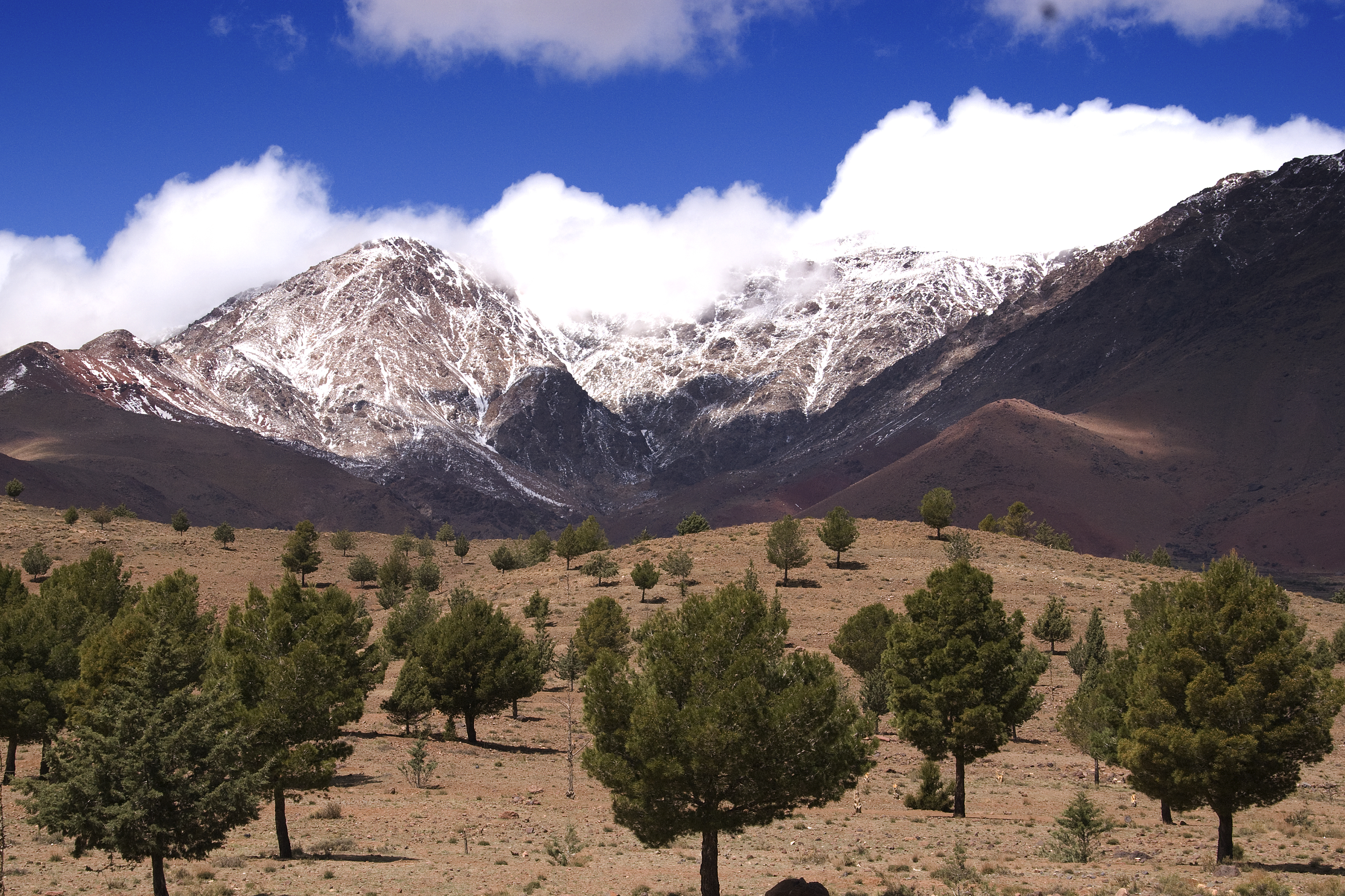
- Mountain ranges: Atlas Mountains and Drakensberg Mountains.

- The Rift Valley a huge fracture of volcanic origin which include depressions fill with water and volcanoes such as mounts Kenya and Kilimanjaro.
Rift Valley


1. 2. Seas, lakes and rivers.
There are several lakes of two types:
located in basins (Victoria, Chad).
located in fractures in the terrain (Albert, Tanganyka and Malawi).

African rivers are very long and carry a high volume of water. The main rivers are: the Nile (the longest river in the world with 6.670 km), the Niger, the Congo, the Zambezi and Orange.

About the coast the main feature are:
Islands: Madagascar.
Peninsulas: Somalia.
Gulfs: Gabes, Guinea and Benguela.
Capes: Good Hope, Aguilhas and Guardafui.
LINKS:
Continental relief of Africa review game.
Rivers and lakes of Africa review game.
Coastal relief of Africa review game.
2. PHYISICAL MAP OF THE CONTINENTS: ASIA.
General characteristics:
Asia is the largest continent with a size of about 43 million square kilometers or 29% of the surface of the Earth.
Asia is limited by the Glacial Artic, Pacific and Indian Oceans.
Is separated from Europe by the Ural Mountains, the Caspian Sea, the Caucasus Mountains and the Black Sea.
From Africa by the Red Sea and the Sinai Peninsula.
From America by the Bering Strait.
2. 1. Continental relief.
The main features of the asian continental relief are:
Plains: Western Siberian Plain, Indochina Plain and Indian Plain.
Depressions: Aral, Caspian and Dead Seas.
Plateaus located in the central and peripheral regions: Anatolian, Iranian, Tibetan, Siberian, Deccan and Arabian Plateaus.
Mountain ranges: young mountains such as the Zagros Mountains and the Himalayas.

2. 2. Coastal relief.
The main features of the asian coastal relief are:
Peninsulas: Kamchatka, Korean, Indochinese, Malay, Deccan, Arabian and Anatolian.
Gulfs: Persian, Bay of Bengal, Thailand and Tonkin.
Islands: Sri Lanka.
Archipielagos: Japan, Philippnes and Indonesian.
Peninsulas of Asia.
Archipielagos and gulfs of Asia.
Seas, river and lakes.
The main seas of Asia are the Sea of Japan, the Sea of Okhotsk, the Kara Sea, the Bering Sea, the South China Sea, the Arabian Sea and Read Sea.
The Asian rivers are long and carry a high volume of water. The main rivers are: Yangtze (5.800 kilometers), the Ob, the Yenisei, the Lena, the Huang He, the Mekong, the Amur, the Ganges and the Indus.
About the lakes we can distinguish:
saltwater lakes: Caspian Sea, Aral Sea, Dead Sea.
freshwater lakes: Lake Baikal


2. 3. LINKS:
WARNING: Don't worry, if you are not able to identify all the landforms in these games. In the exam there will be only questions about the landforms that we have seen in class.
Continental relief of Asia
Asian rivers and lakes review game.
Asian coasts review game
Didactalia. Asian continental relief.
Didactalia. Asian rivers and lakes.
Review game about the main mountain ranges, rivers, lakes and seas of Asia.
ACTIVITIES:
Please, try NOT TO USE your book or notes in order to do this activties.
1. BLANK MAP
__ __
__ __ __ __ __ __ __
__ __ __ __
__ __ __ __ __ __
__ __ __ __
__ __ __ __ __ __ __
__ __ __ __ __ __ __
__ __ __ __ __ __ __ __
__ __ __ __ __ __
__ __ __ __ __
__ __ __ __ __ __ __
__ __ __ __ __ __ __ __ __ __
22. HANGMAN.
Huge gulf located between the Deccan Peninsula and the Indochinese Peninsula.
__ __ __ __ __ __ __ __ __ __ __.
A huge plateau located between the Deccan Peninsula and the rest of Asia.
__ __ __ __ __ __ __ __ __ __ __ __ __ __
A big península located in the East of Asia, next to the Japanese archipiélago.
__ __ __ __ __ __ __ __ __ __ __ __ __ __ __
A sea located between Asia and America.
__ __ __ __ __ __ __ __ __.
3. BLANK MAP.
You can find the solutions HERE.
3. PHYSICAL MAP OF THE CONTINENTS: EUROPE.
3. 1. Location and limits.
Europe its the fifth largest continent with a surface of about 10 million square kilometers or a 7 per cent of the Earth's surface.
Location: is located between the Atlantic Ocean, the Artic Glacial Ocean, Asia and Africa.
It is separated from Asia by the Ural Mountains, the River Ural, the Caspian Sea, the Caucasus and the Black Sea.
It is separated from Africa by the Mediterranean Sea.
3. 2. Continental relief.
We can distinguish several types of relief:
The Great European Plain. A huge plain that runs from Atlantic coast of France to the Ural Mouantins and it is triangular shaped.
Great European Plain, near Moscow.
Several plateaus and massifs located in the north and the centre of Europe:
Plateaus: Finland, Sweeden.
Massifs: Scandivnavian Mountains, Ural Mountains, the Central Massif, the Jura and the Vosgues.

Flying over the Ural Mountains.
A chain of young mountain ranges located in the south of the continent: Pyrenees, Alps, Apennines, Dinaric Alps, Balkans, Carphatian Mountains, Caucasus.

3. 3. European rivers and lakes.
We can distinguish between the rivers that flow into the Atlantic Ocean and the rivers that flow into the Mediterranean, Black or Caspian Seas:
Atlantic: Tagus, Garonne, Loire, Seine, Thames, Rhine and Elbe.
Mediterranean: Rhone, Tiber, Po; Black Sea; Danube, Dnieper, Don; Caspian: Volga and Ural.
3. 4. European coasts and seas.
European coasts are very uneven and we can distinguish numerous:
capes: North Cape, Finisterre, Cape St. Vincent.
gulfs: Gulf of Finland, Gulf of Bothnia, Bay of Biscay, Gulf of Lion, Gulf of Genoa.
peninsulas: Jutland, Iberian, Italian, Britanny and Balkan
The main islands and archipielagos are:
islands: Iceland, Ireland, Great Britain, Sicily, etc.
archipielagos: Madeira, Balearic and Canary islands.


Links:
Interactive game. European relief review.
Activities:
You can find the solutions here.
1. Identify the following landforms of the european, antarctic and oceanic relief:
With an A
A young mountain range located between the Italian peninsula and the rest of Europe.
With an A
A cape located in the Antarctic continent.
With a B
A big peninsula located in the south of Europe.
With a B
A young mountain range located in the Balkan Peninsula.
With a C
A peninsula located at north of Australia
With a D
One of the largest river in Europe. It flows into the Black Sea
With an E
The highest peak in Europe
With an F
A gulf located in the Baltic Sea
With a G
A gulf located next to the Italian peninsula
With a G
A huge plain that occupy most of the eastern europe.
With a G
A huge mountain range located in the eastern part of Australia.
Contains an H
A young mountain range located in the eastern part of Europe
With an H
A mountain range located in the western part of Australia
With an I
A big península located in the south of Europe. It has the shape of a boot.
With an I
An island located next to the western coast of the European continent. It is known as the “emerald island”.
With an J
An old massif located in the western part of Europe.
With a M
And old massif located in the western part of Europe
With an M
A mountain range located in the center of Australia
With an M
Another river located in Oceania
With an N
A sea located between Great Britain and the Scandinavian Peninsula.
With a P
A river located in the Italian peninsula
Contains a P
A river that flows into the Black Sea
With an R
A important european river that flows into the North Sea located between the rivers Seine and Elbe.
With an R
A sea located in the Antarctic continent
With an S
A river located in the western part of Europe. It flows into the Atlantic Ocean
With a T
A sea located between New Zealand and Australia
With a T
The largest river of the Iberian Peninsula
With a U
A mountain range located between Asia and Europe.
With a V
The highest peak of the Antarctica continent.
With an V
The longest river in Europe. It flows into the Caspian Sea.
2. Identify the landforms highlighted in these maps.
3. HANGMAN.
And old massif located in the Scandinavian Peninsula.
__ __ __ __ __ __ __ __ __ __ __ __ __ __ __ __ __ __ __ __ __
The highest peak in Europe.
__ __ __ __ __ __.
A big european island located in the Mediterranean Sea and triangular shaped.
__ __ __ __ __ __.
A gulf located between the Iberian Peninsula and the Britanny península.
__ __ __ __ __ __ __ __ __ __ __
A cape located in the northern of the Scandinavian Peninsula.
__ __ __ __ __ __ __ __ __
A sea located between the Italian Peninsula and the Balkan Peninsula.
__ __ __ __ __ __ __ __ __ __ __
A river located in the italian península which flows into the Tyrrhenian sea.
__ __ __ __ __ __ __ __ __ __O r
Extenal links:
Review game european relief.
4. ANTARCTICA.
4. 1. Characteristics.
Antarctica is the fourth largest continent, covering more than 13 thousand million square kilometres.
Location: in the southern hemisphere, surrounded by the Antarctic Ocean.
Comparision of the areas of Europe and Antarctica.
4. 2. Continental relief.
Is the continent with the highest average altitude, almost 2.600 metres.
The most important landforms are:
The Ellsworth Mountains, in which is located the highest peak, Vinson Massif.
The Antarctic Peninsula.
The Cape Adare.
Video: Antarctica from the summit of the VInson Massif

4. 3. Ice and seas.
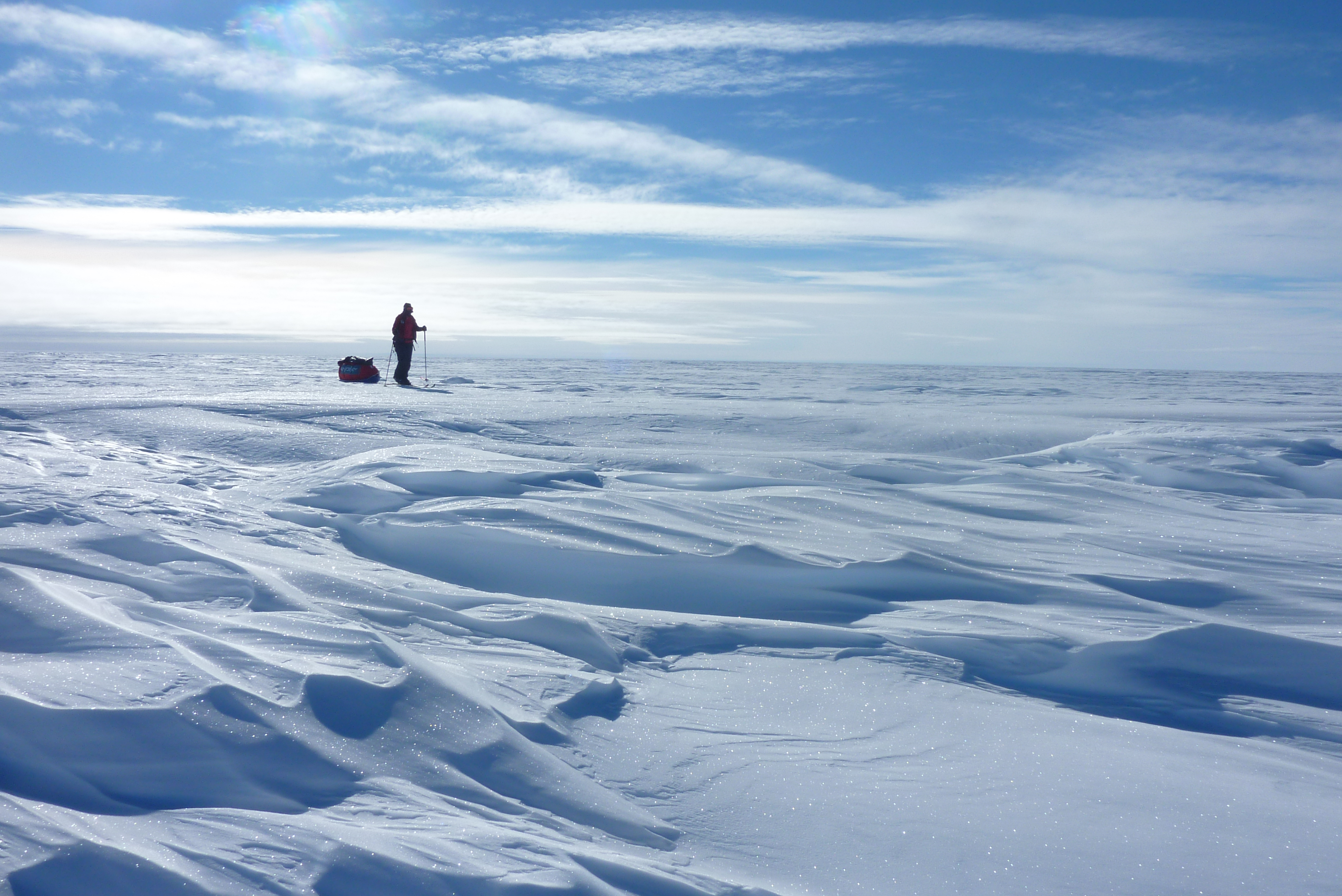
A layer of ice cover most of the continent with a thickness of 2000.
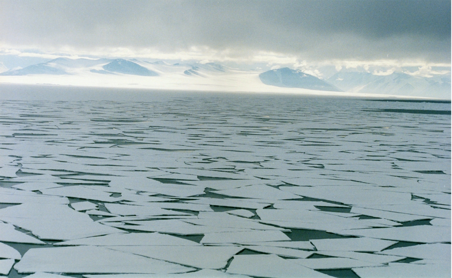
The main seas are the Weddell Sea and the Ross Sea.

5. OCEANIA.
It is the smallest continent with almost 9 million square kilometres.
Location: in the Pacific Ocean. It is composed of:
Large islands (Australia and the North and South Islands of New Zealand)
Several archipielagos:
Melanesia.
Micronesia.
Polynesia.
Continental relief
Australia.
The most important features of the relief are: the MacDonnell Ranges, Hamersley Range and the Great Dividing Range.
Landforms of the australian relief.
Blue Mountains, Great Dividing Range.
Great Dividing Range, eastern slopes.
Great Dividing Range, western slopes.
Glen Helen Gorge, Macdonnel Range.
Ayers Rock.
New Zealand and the rest of the islands.
Mountanious or volcanic terrain. The most important feature is the Southern Alps.
Southern alps, New Zealand.
Coastal relief:
Peninsulas: the Cape York Peninsula
Gulf: Gulf of Carpentaria.
Seas, lakes and rivers.
The most important sea in Oceania is the Tasman Sea.
The most important lake is Lake Eyre in Australia.
The most important rivers are the Darling and the Murray.
Lakes and rivers of Oceania
Lake Eyre empty.
Lake Eyre full of wáter.
Lake Eyre fill with water (2011)